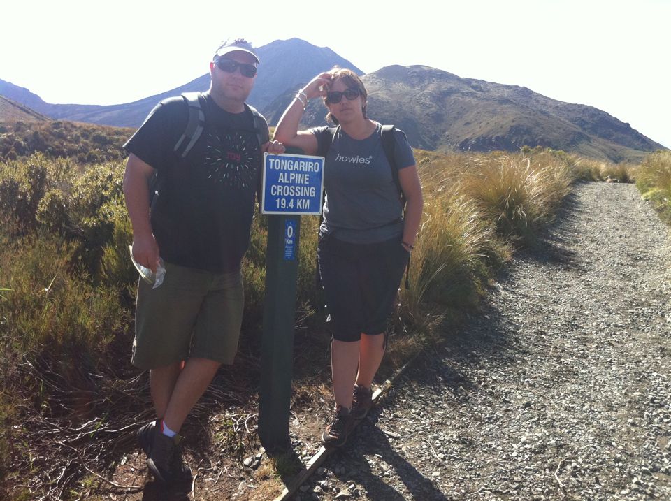
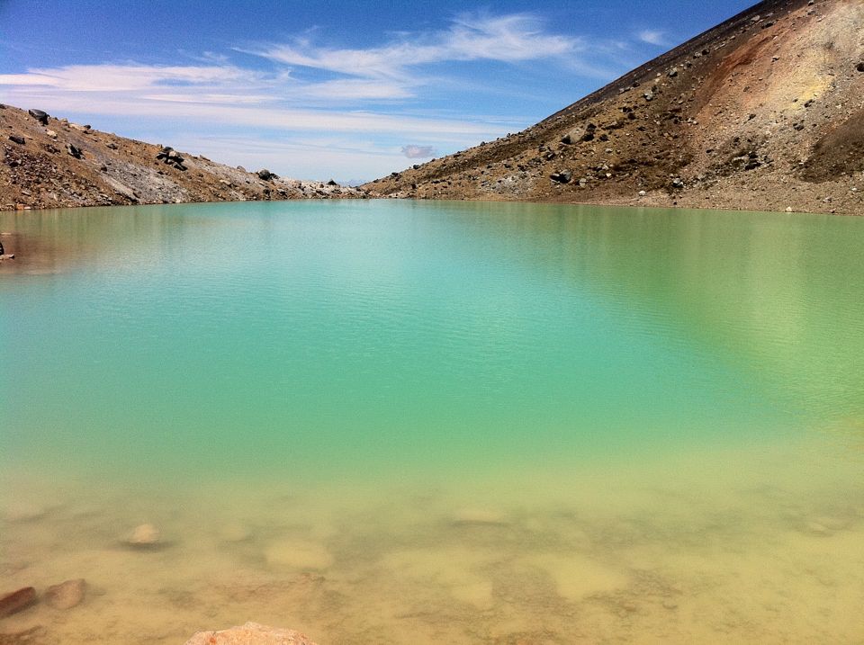
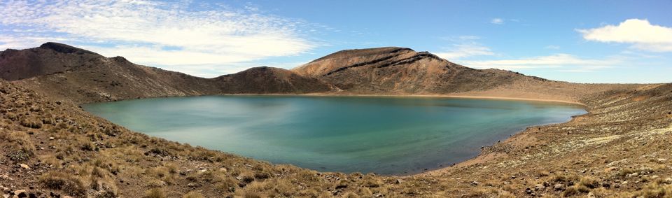
Leonie, mum and I did the Tongariro Crossing yesterday. I've done it a few times before (3-4x) and mum's done it more than a few times (6-10x?), but it was Leonie's first time. Nothing quite like taking a newbie up.
It's still quite a slog up (and down) the mountain, but it was an amazing day, we really hit the best day for it all week. The walk itself is about 7.5 hours (including about 30 mins for lunch), going from about 900m, climbing up to 1900m, then back down to about 600m. The official website has a good profile.
So basically, it's all up or down. Google Maps shows it quite well, tho their "17.3km, 3 hours" is totally wrong. It's 6-8 hours....
Leonie has a load of pics and story here. Her photos are, I think, a lot better than mine (no surprise: iPhone vrs 5D mk2, the 5D should win every time).
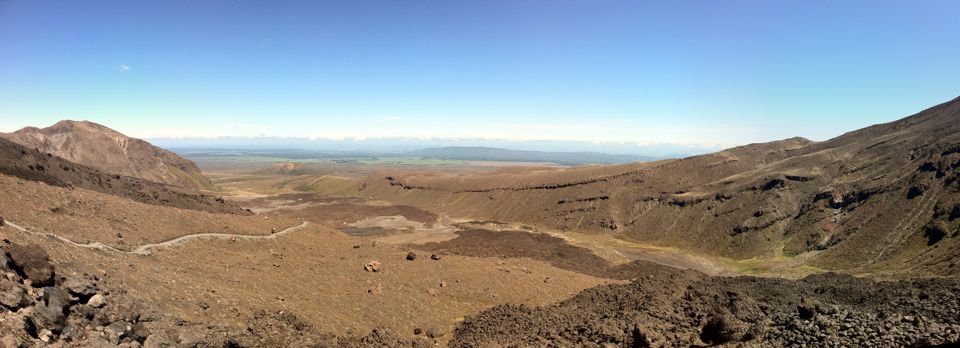
Panoramic looking back down the Mangatepopo Valley (which is the start)
Looking up the Mangatupopo Valley (from the bottom)
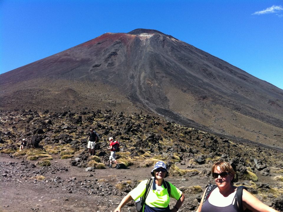
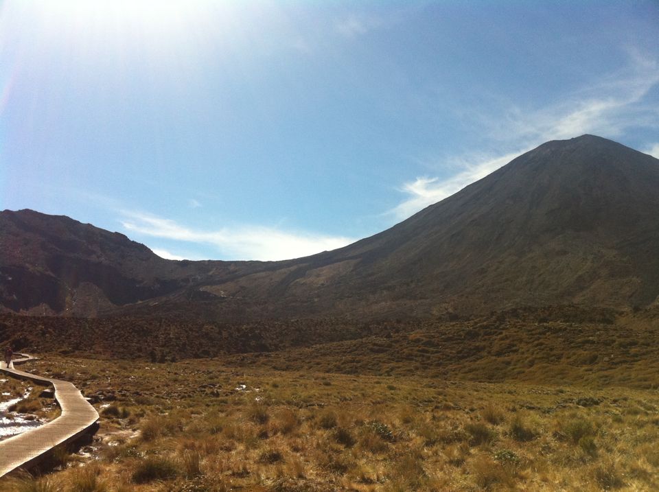
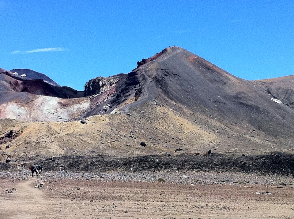
On top of the South Crater - Mt Ngauruhoe in the background
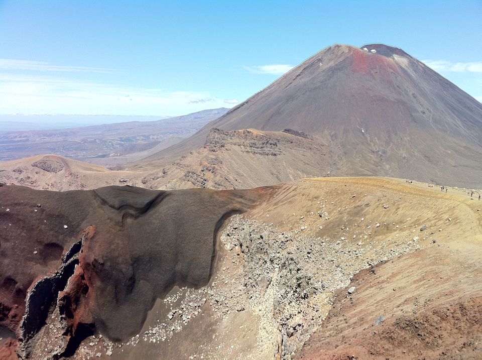
The "other" side of Red Crater. We came down that thin ridgeline.
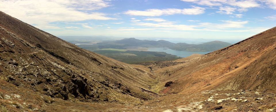
The view from the last "top" part, looking down to lake Taupo (far distance) and lake Rotoaira in the foreground.